

Identifying Handrails, Catching Features, and Attack Points
Rivers, ridgelines, fence lines, and valley floors serve as magnificent handrails that guide steady progress. Choose catching features—lakes, cliffs, broad saddles—that will stop you if you drift. From there, launch short, precise approaches to attack points only a few hundred meters from your objective for final accuracy.
Estimating Time and Effort with Naismith’s Rule
Naismith’s classic estimate—one hour per five kilometers plus one hour per six hundred meters of ascent—offers a grounded baseline. Refine with Tranter or Langmuir adjustments for fitness, descent difficulty, and fatigue. Compare actual splits to predictions, then adapt plans, snacks, and water to match the day’s unfolding truth.
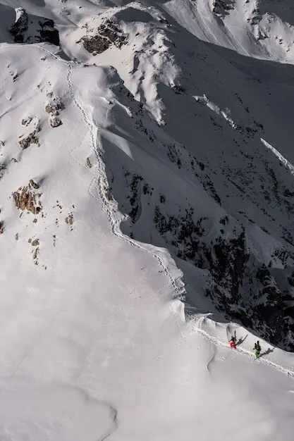
Avoiding Traps: Gullies, Cliffs, and Cornices
Contours that stack tightly with enclosed tick marks often signal cliffs; abrupt line breaks can hide drop-offs. In winter, wind-loaded lee slopes sculpt deceptive cornices that overhang voids. Favor conservative ridgelines, probe suspicious edges, and use a clinometer plus snowpack clues to reject alluring yet hazardous shortcuts.